
Landscape & terrain

LAND by HAND

Work with
the land.

Landscape and terrain automation for Autodesk Revit 2024–2027.

Match terrain surfaces, align site elements, and export survey points in Revit.

Checking account access…
View HAND LicenseSign in to view your license

Downloading the installer does not grant paid access. A HAND Account with a verified email is required to download. Activate each product with your license email and serial.

Included with HAND Annual License
LAND architectural workflow concept
Architectural workflow concept
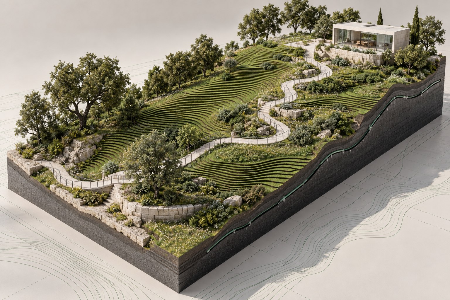
SURFACE → SITEFollow the terrain.
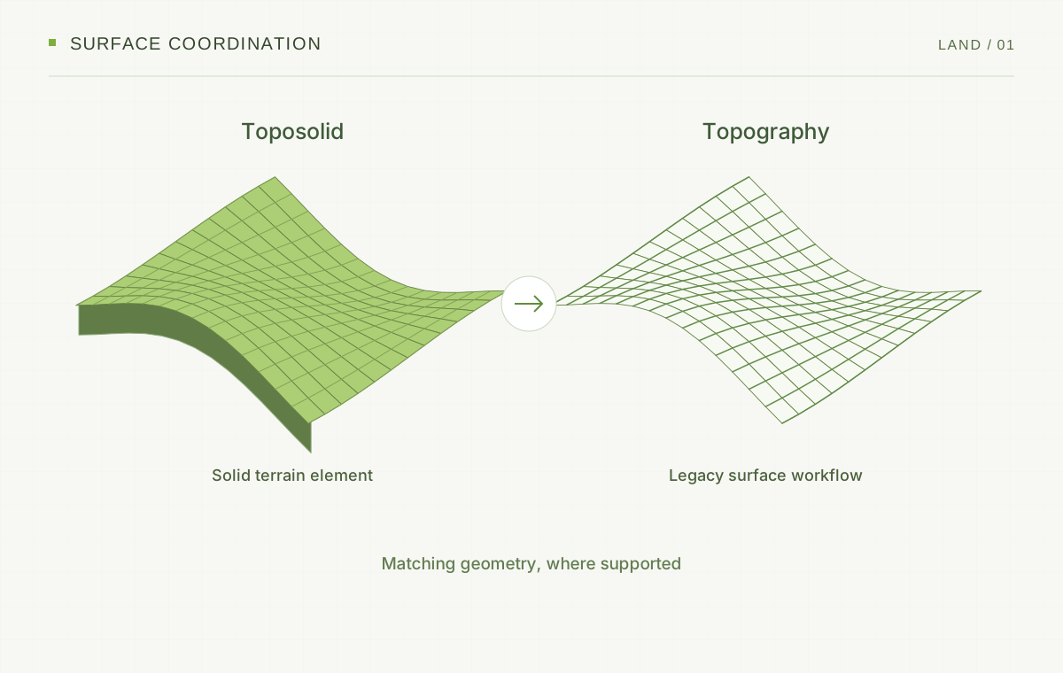
Convert terrain.Match surfaces. — conceptual workflow illustration
Illustrative workflow · not a product screenshot

01 · Terrain conversion & surface matching

Convert terrain.
Match surfaces.

Convert Toposolid to legacy Topography and match supported terrain surfaces.

  • Toposolid → Topography

    Convert Toposolid elements into legacy Topography surfaces, preserving the geometry where supported.

  • Match the surface

    Match Toposolid to Topography or Toposolid to Toposolid where supported.
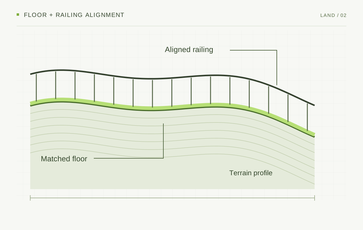
Match floors and railingsto the terrain. — conceptual workflow illustration
Illustrative workflow · not a product screenshot

02 · Floor and railing matching

Match floors and railings
to the terrain.

Match floor geometry and align railing paths to the elevations of your selected terrain surface.

  • Floor Matching

    Bring supported flat or sloped floor geometry into alignment with the terrain.

  • Railing Alignment

    Follow terrain elevations with aligned railing paths.

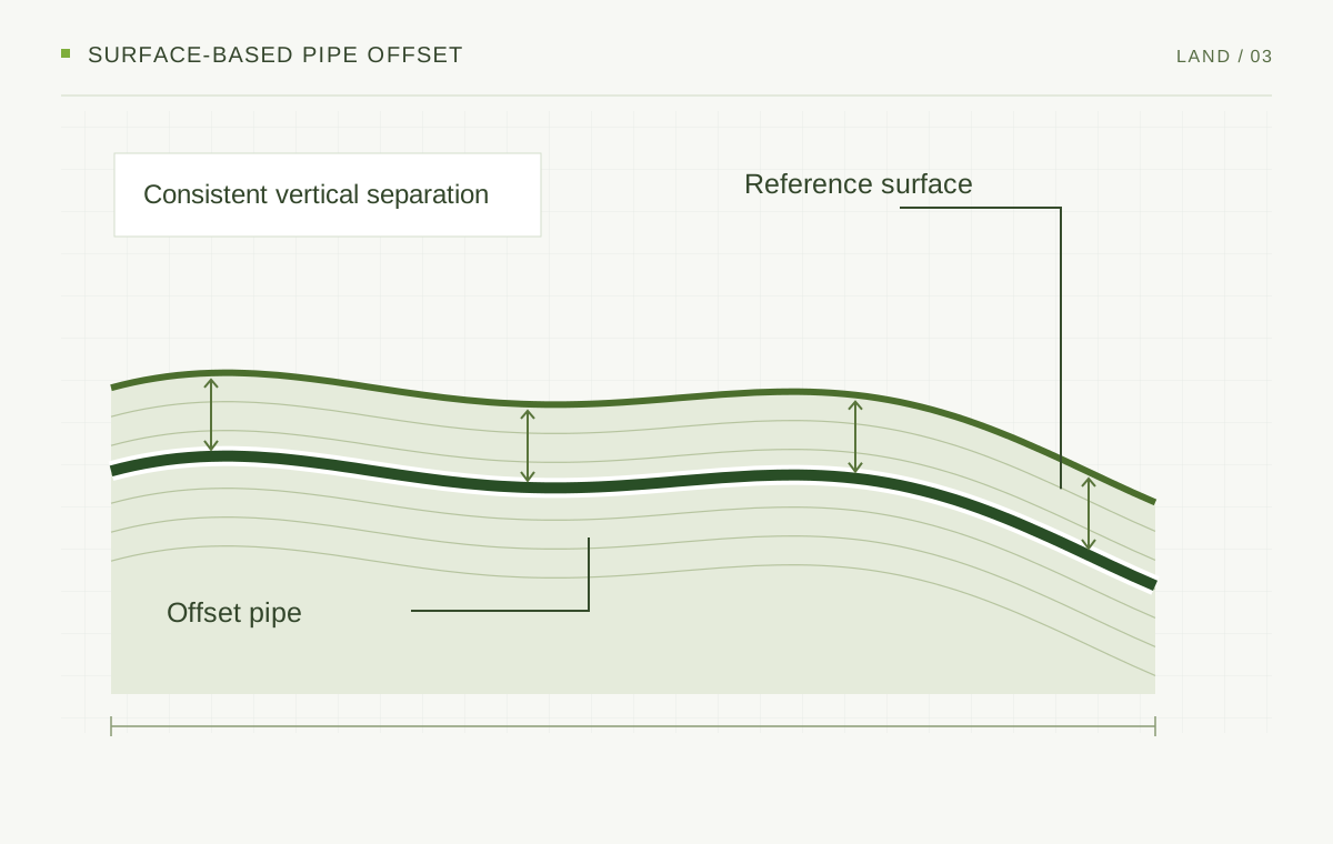
Set a pipe offset.Follow the surface. — conceptual workflow illustration
Illustrative workflow · not a product screenshot

03 · Pipe Offset

Set a pipe offset.
Follow the surface.

Position pipes at a specified vertical distance from Topography, Toposolid, or floor surfaces.

  • Surface-based placement

    Use the selected surface as the elevation reference.

  • Defined vertical offset

    Apply the specified vertical offset to supported pipes.

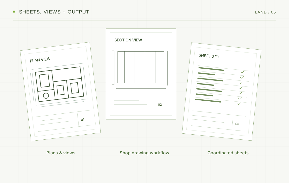
Create sheets and viewsfrom Excel. — conceptual workflow illustration
Illustrative workflow · not a product screenshot

04 · Excel, sheets & views

Create sheets and views
from Excel.

Use structured Excel data to create Revit sheets and supported views.

  • Create Sheets from Excel

    Generate sheets in bulk using numbers, names, and supported title blocks.

  • Create Views from Excel

    Turn structured data into supported Revit views.

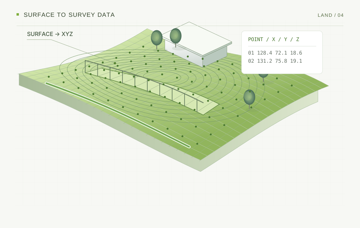
Export drawingsand survey points. — conceptual workflow illustration
Illustrative workflow · not a product screenshot

05 · Output & survey export

Export drawings
and survey points.

Prepare PDF and DWG drawing output, or export XYZ points for survey workflows.

  • Print PDF & Export DWG

    Prepare supported drawing output from Revit.

  • Export P.XYZ

    Export terrain or surface XYZ points for use in survey workflows.

Technical reference

The LAND command set.

01Convert TS → Topo02Match TS → Topo03Match TS → TS04Match Floor05Match Railing06Pipe Offset07Create Sheets08Create Views09Print PDF10Export DWG11Export P.XYZ

Supported host versions

Built for Revit.

Revit2027Full support
Revit2026Full support
Revit2025Full support
Revit2024Full support

TS means Toposolid; Topo means Topography. Toposolid commands depend on the Revit version and its API support.

Three tools. One license.HAND — Engineering Solutions by HAND
LAND by HAND logoLAND
STRUXA by HAND logoSTRUXA
R3M logoR3M

HAND Annual License

One license.
All current HAND tools.

LAND by HAND, STRUXA by HAND, and R3M share one license email and one serial.

  • 365 days
  • 1 licensed device
  • One-time payment
  • No automatic renewal
View HAND LicenseSign in to view your license