
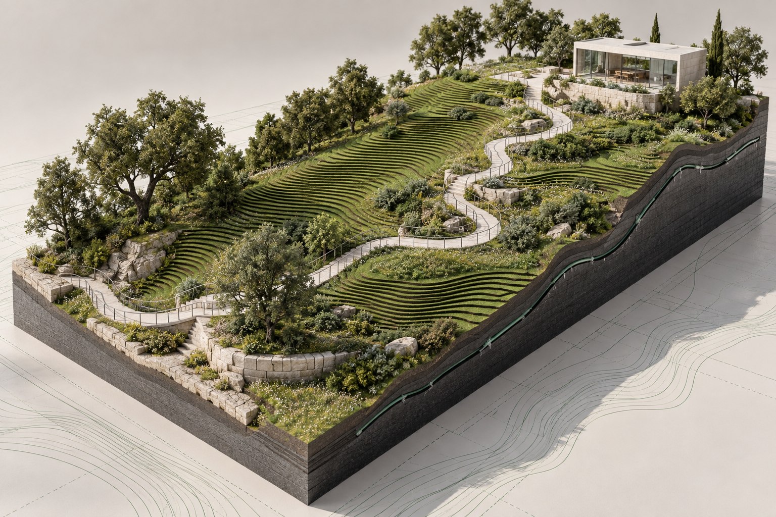

Landscape & terrain
LAND by HAND
Landscape and terrain automation for Autodesk Revit 2024–2027.
- Surface matching
- Terrain-aligned elements
- Survey export
Explore LAND
Included with HAND Annual LicenseChecking account access…Buy License →
Tools for Revit and visualization
Coordinate terrain in Revit.
Automate project documentation.
Transfer models to 3ds Max.

The HAND toolkit
Tools for terrain, Revit documentation, and architectural visualization.
Explore the toolkit ↗Landscape and terrain automation for Autodesk Revit 2024–2027.
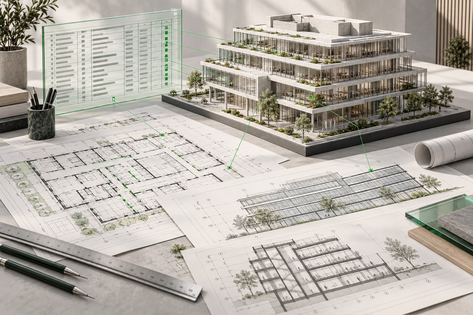

Revit tools for project data, documentation, and model checks.

Revit to 3ds Max for Chaos Corona.
The HAND advantage
Automate terrain coordination and drawing production, then transfer supported Revit content to 3ds Max.
Automate repeatable tasks across terrain, data, and documentation.
Coordinate terrain surfaces, project data, and drawing output.
Review supported Revit changes before applying scene updates in 3ds Max.
Use HAND tools within your Revit and 3ds Max workflows.
 LANDSTRUXAR3M
HAND Annual License
LAND by HAND, STRUXA by HAND, and R3M share one license email and one serial.